Belianske Tatras / Location
Belianske Tatras
Imagery: Mapbox
Location
Belianske Tatras
Slovakia
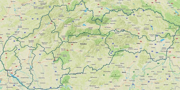
The location on the map is set to the coordinates of Havran, the highest peak in Belianske Tatras (Belianske Tatry). Belianske Tatras (Belianske Tatry) is a mountain range in the Eastern Tatras in north-west of East Slovakia - in Region Presov (Prešovský kraj), district Poprad. The 14 km long main ridge runs in the north-south-southeast direction and in the central part main ridge of High Tatras (Vysoké Tatry) mountains follow up to it at right angle.
Tatras (Tatry) - tourist location
Is located in a protected area
Tatra National Park (Tatranský národný park - TANAP)
Belianske Tatry