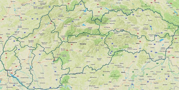
Kráľova Hoľa Tatras / Location
Kráľova Hoľa Tatras

Imagery: Mapbox
Location
Kráľova Hoľa Tatras
Slovakia
The location on the map is set to the coordinates of Kráľova hoľa, the highest peak in Kráľova hoľa Tatras (Kráľovohoľské Tatry). Kráľova Hoľa Tatras (Kráľovohoľské Tatry) is mountain range in Central Slovakia, and geomorphological subwhole of Low Tatras (Nízke Tatry) mountains. It is located on the territory of Region Banska Bystrica (Banskobystrický kraj) and on the south of Region Žilina (Žilinský kraj). The mountain range stretches from West to East between the valleys of Váh and Hron Rivers.