Low Tatras

Category: List of mountains in Slovakia - geomorphological wholes, Mountains in Slovakia - list of mountains
MoreLocation
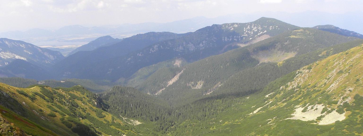
Low Tatras (in Slovak Nízke Tatry) is located in north part of central Slovakia on territories of Banská Bystrica Region (Banskobystrický kraj) - districts Banská Bystrica and Brezno, Žilina Region (Žilinský kraj) - districts Ružomberok and Liptovský Mikuláš, and Prešov Region (Prešovský kraj) - district Poprad. Low Tatras mountain range stretches about 95 km from west to east between the valleys of the rivers Váh and Hron.
Area
The area of Low Tatras mountains is 1 242 km2 (124 200 ha).
The highest peak
Highest peak in Low Tatras is Ďumbier (2043.00 m.n.m). More information can be found in the Hills and peaks section.
Division of Low Tatras (Nízke Tatry)
Tatry is the mountain range in territory of Slovakia. The name Tatras is often considered as naming of mountain ranges - the High Tatras, the Low Tatras, the Western Tatras, the Eastern Tatras, the Belianske Tatras, and are often considered from the viewpoint of tourism as one mountain range, or a whole, or their division is considered as subwholes High Tatras and Low Tatras.
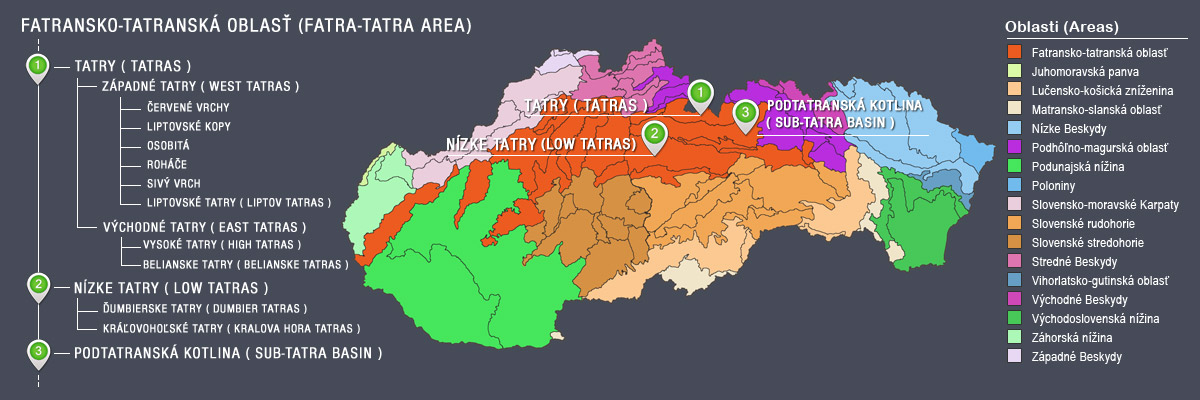
According to the geomorphological classification, the Low Tatras (Nízke Tatry) are independent moutains situated to the south of the Tatra Mountains. Tatra Mountains has sub-wholes Eastern Tatras (Východné Tatry) and Western Tatras (Západné Tatry). The Tatra mountains and Low Tatras (Nízke Tatry) as a wholes belong to the area Fatra-Tatra Area (Fatransko-tatranská oblasť). More information can be found in the Division section.

