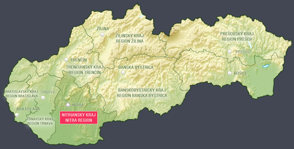
Nitra Region

Category: Regions
Area of the region: 6,343.73 km2The population: 665,600
Population density: 104.92 / km2
Number of districts: 7
Number of cities and municipalities: 354
Number of protected natural areas and natural monuments: 143
 Nitra Region (in Slovak Nitriansky kraj) is the fifth largest region in Slovakia by area, with an area of 6,343.73 km2. The capital of the region is city Nitra, according to the population the sixth largest city in Slovakia.
Nitra Region borders on Trnava Region (Trnavský kraj) in the west, Trenčín Region (Trenčiansky kraj) in the north and Banská Bystrica Region (Banskobystrický kraj) in the east.
The Region’s relief topography predominately consists of plains and lowlands broken by mountainous areas. The Tríbeč Mountains stretch along the north of the region, while the northeast is bordered by the Štiavnica Mountains (Štiavnické vrchy) and part of the Pohronský Inovec mountains.
The largest part of the south-east and southern part of the region is covered by quality agricultural land of the Danubian Lowland (Podunajská nížina) with part of Rye Island (Žitný ostrov). Rye Island (Žitný ostrov) is the largest river island in Europe with rich groundwater reserves created between the main flows of the Danube river and the Little Danube (arm of Danube river).